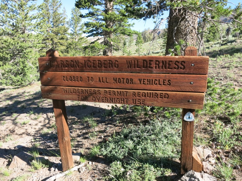
We packed up first thing this morning and headed back to the picnic area at the highway to have breakfast at an actual table like civilized people. As we ate a few cars pulled up to drop off hikers for various trips. One man out for a day trip cheerfully agreed to haul out our garbage, which by this point in the section was becoming a burden. He had given a ride to a hiker headed to Mt. Whitney and we all chatted for a bit before they set off. Soon it was time for us to go, too, and we hit the trail.
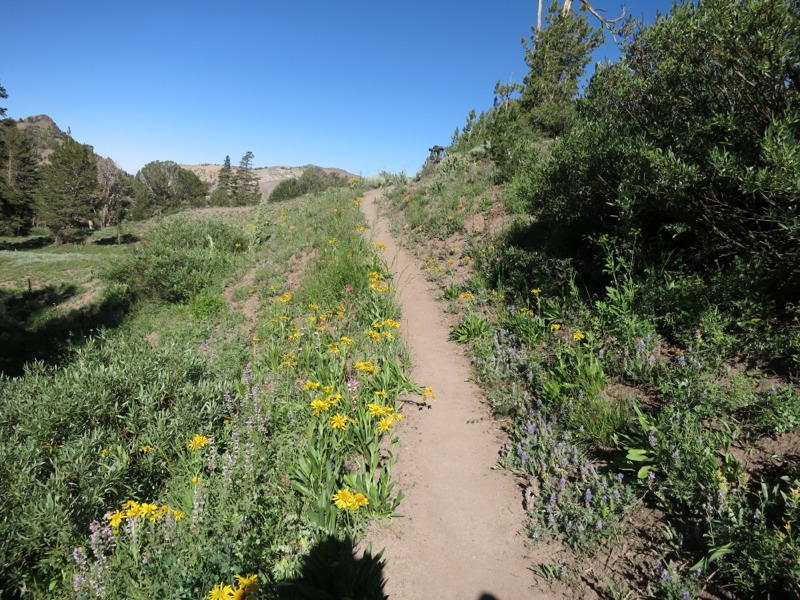
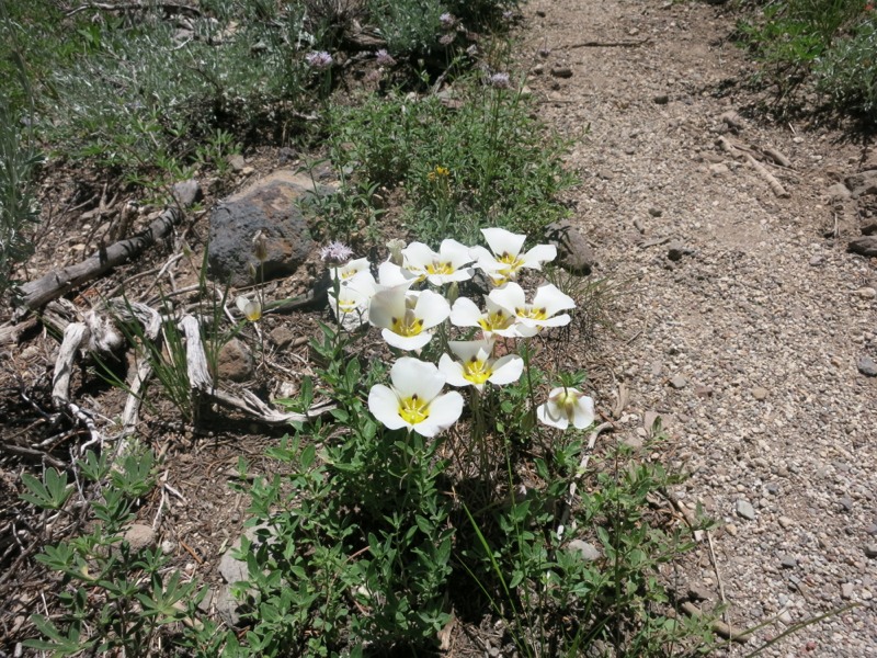
We started off with a climb up the slopes of red Mt. Sonora, twisting and turning and switchbacking up. The profusion of flowers was incredible – lupine, aster, penstemon, mule-ear daisy, and a dozen others I don’t know the names for. We reached the top of a ridge and started down, completing our last stretch of trail above 10,000 feet. We were heading back into granite territory for the moment and the trail became rocky instead of smooth and sandy.
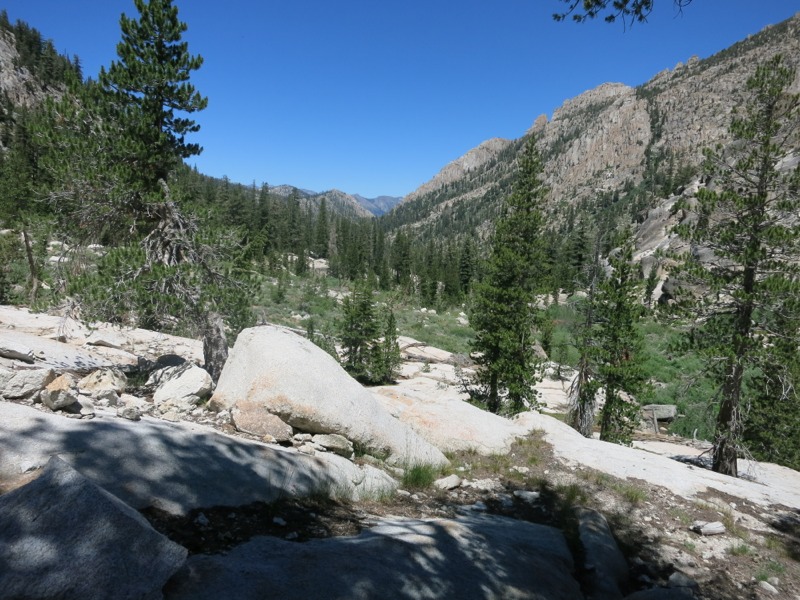
At a corner of the trail right up against the mountain we encountered a trail crew cleaning up after a rockslide. We thanked them for all they do. It’s amazing that there haven’t been more sections of poor or dangerous trail in over 1000 miles, but they are few and far between. As we left them we headed down a section that was little more than a trench filled with large rocks. This must be the next job on their list!
Later we came across a group of eight or ten people out for a section hike from Ebbits Pass to Sonora Pass. They had lots of questions about our trip and we were of course happy to chat for a while. Soon after that we passed a couple from South Dakota out on the same leg. We admire people who come straight from the flatlands to hike at elevation. It’s tough enough even with acclimation!
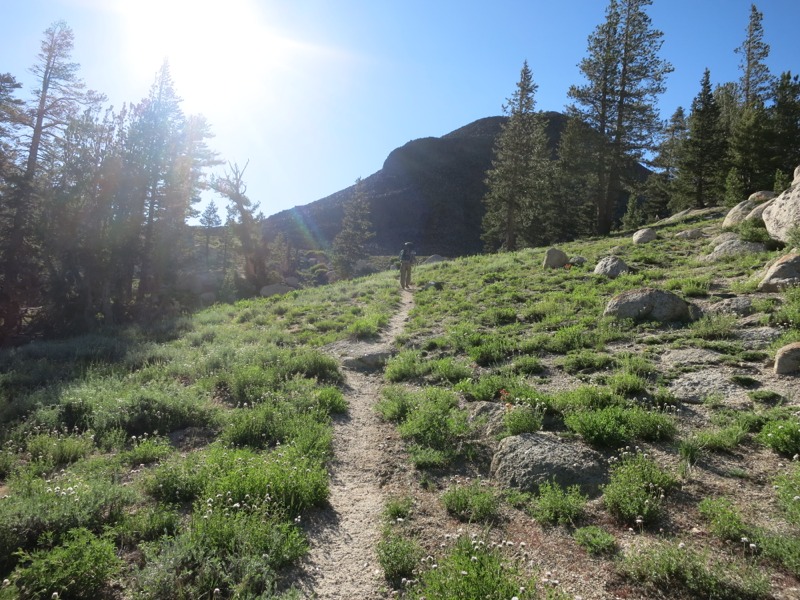
The rest of the morning was a gradual descent to a seasonal creek where we had lunch. The trail was alternately rocky and smooth and we stepped over many trickling streams along the way. The group had warned us that the bugs would be bad as we got further north, but except for a bunch of flies buzzing around we didn’t see many yet.
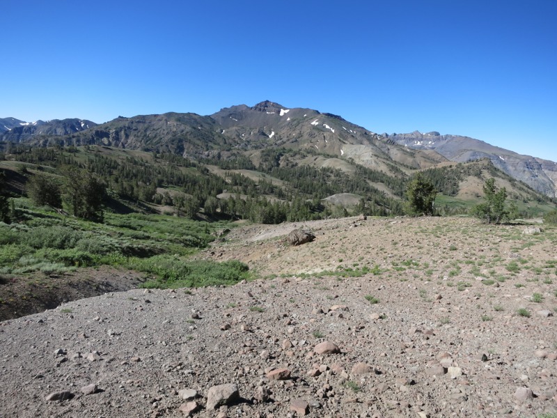
We had a tough afternoon. Our elevation profile said we’d have a tough uphill followed by a gradual downhill to the end of the day, but it seemed like we climbed more than we dropped. It was hard to complain too much, though, since the trail took us nearly to the top of a scenic mountain and through some beautiful, flower-choked meadows. We saw our first sign of bears in our entire hike through the Sierra when I came across a single bear print on the trail.
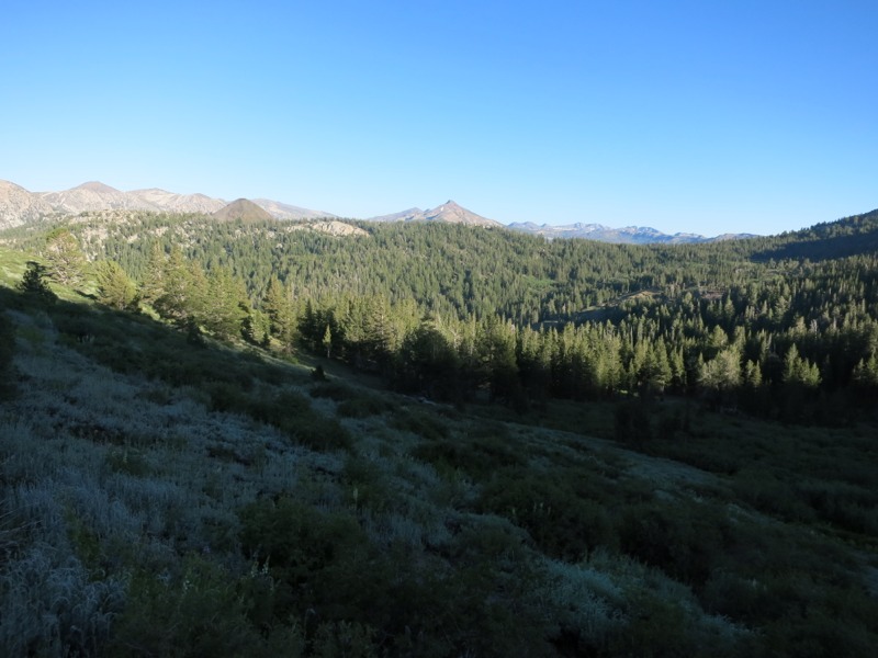
As it started to get later we decided to go on until we made at least 20 miles, then to look for a place to camp. Once we reached the 20-mile mark, though, there was no water and no flat ground to be found on the steep slopes we were traversing. We had no choice but to push on, thinking about all the little creeks we had crossed back in the meadows. Eventually we came to a little trickle and, more importantly, a flat spot a little ways further down and off the trail. We jumped on it and had camp set up in record time. This was a tough day physically and mentally. Tomorrow should be a little easier in terms of terrain, and then we’re only a day and a half from dragging our dirty, stinky, hungry selves into Tahoe.
– Posted from the PCT
Location:Pct mile 1040
