We shared a campsite with Carrie last night, the hiker from Seattle we had met on the second day coming into Boulder Oaks. We seem to hike at similar paces and will likely be seeing a lot of each other, as we did today. It was freezing this morning! Very hard to get out of our warm bags. We spent most of the morning hiking 5 miles to the Pioneer Camp area, where we got water for the next 7 miles. It was a nice hike through the rest of the Laguna area. As the desert floor to our east heated up a stiff breeze whisked out of the pines to keep us cool. Good thing, too, because as usual it started to get warm early.
Lots of other hikers were at the picnic area and we chatted for a bit before getting water at the horse tank. The reservoir was scummy and looked like moss-colored kool aid, complete with water beetles and tiny worms. Luckily the water from the spigot was clear and cold. Less gunk to plug up our filter.
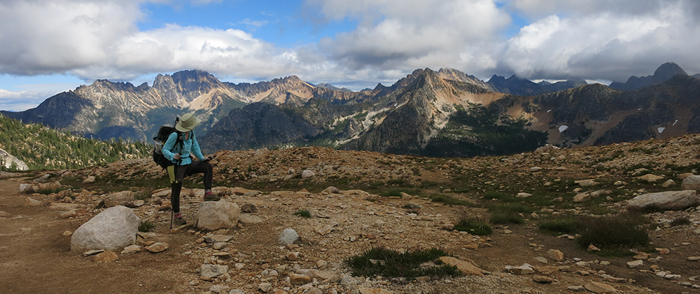
After cameling up we headed into the hills bordering Anza-Borrego state park. We spent all afternoon overlooking the desert – a taste of things to come. It was oppressively hot with only intermittent breeze. Our bodies don’t know how to handle it yet. They’re still used to 30 degree weather. If not for our sun umbrellas it would have taken us the rest of the day. My umbrella is vying with my sleeping bag for the title of Favorite Gear. I have affectionate feelings for them that I’ve never before had for inanimate objects.
It still took us longer than we thought to reach the Sunrise trailhead and the next water, winding in and out of the hills. Once there we headed down to another horse trough and another cesspool. This one, inexplicably, even had little fish in it. It also had a float bobber that allowed us to catch fresh water – saved again! The trailhead was super windy, a nice change from the hills but a little too much in the other direction.
We were starting to get worried about our miles so far that day. Tomorrow marks the beginning of a 33 mile waterless stretch and we wanted to set ourselves up to reach the last source very early in the day. The stretch is broken up by two water caches stocked by volunteers, but it’s not a food idea to rely on them in case they’ve been used up. From the last reliable source it’s 10 miles to the first cache at Scissors Crossing. We were hoping to make it most of the way there before the true desert heat set in. For that to be possible, though, we had to end up near the source tonight. It was 8 miles from the Sunrise area and we knew we weren’t going to make it all the way but we needed to make some serious distance all the same.
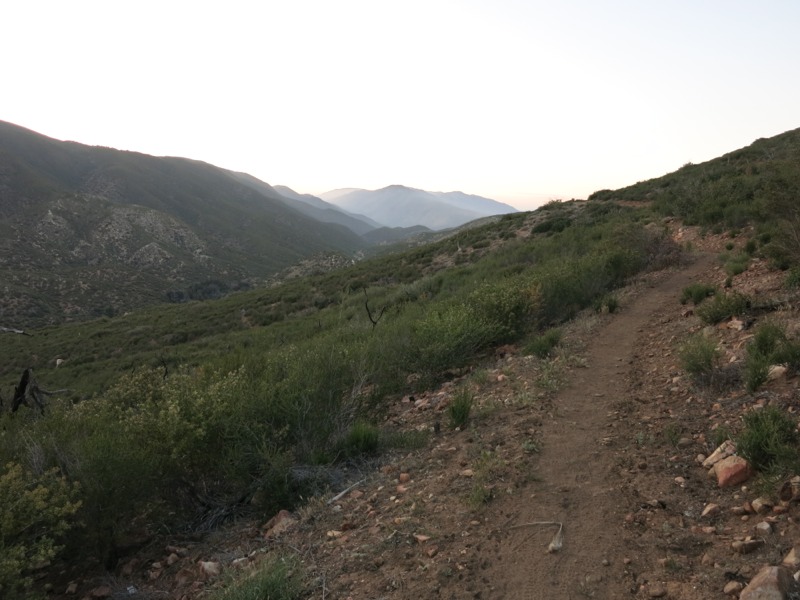
We put the pedal to the metal and cruised on in the afternoon cool. It was nice trail, mostly level, and we made almost 3 miles in one hour. We zoomed past the last marked campsite after a long, steep downhill and immediately headed back up into the hills with an equally steep climb. From our contour maps it looked like there might be some small crevices big enough for our groundsheet and gear – just one of the joys of cowboy camping with no tent. It was a gamble, but a little after sunset we found a tiny canyon out of the strong wind that looked like it had been put there just for us, complete with an amazing view of the mountains at sunset. Now we’re curled up snug in our bags and thinking about tomorrow’s scorching trail…
– Posted from the PCT