We wrapped up our visit to Idyllwild this morning with a visit to the post office to mail off my broken camera. I’m really bummed that I won’t have it for the foreseeable future but at least we have Keith’s as a backup. If the repair goes well there’s a chance I could have it sent to Agua Dulce 250 miles up the trail.
Dave, yet another local trail angel, hauled us up the road to the Humber Park trailhead where we arrived a few days ago. He warned us about how hot and dry the next section is and gave us each a roll of life savers to avoid dry mouth. What a deal! Thanks Dave!
To get back to the PCT we hiked 2.5 miles and 1600 feet back up the Devil’s Slide trail. It was hot but well-graded and before we knew it we were back at the top. Along the way we met Mr. Green on his way into town. Turns out he is also from Minneapolis! He read that we were from the burbs in a trail register and has been eager to meet us ever since. We were happy to pass on some phone numbers he could call to try and get a ride.
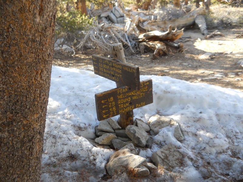
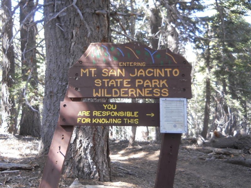
Once back on the PCT, we headed north again over easy terrain. We were making for the trail junction two miles ahead, where we would take the alternate route to the top of Mt. San Jacinto. The trail started picking up grade and we could feel it with our full packs. Still, even though we moved slowly, our pace was steady as we climbed up to 10,800 feet – our highest point yet! I know we wouldn’t have been able to keep this pace up two weeks ago. We keep getting stronger…
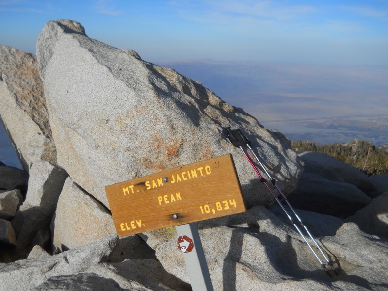
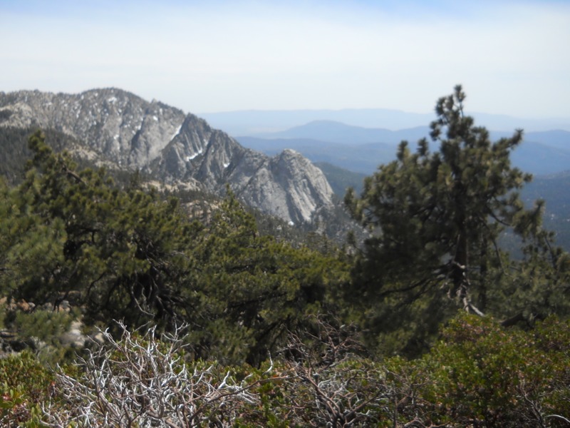
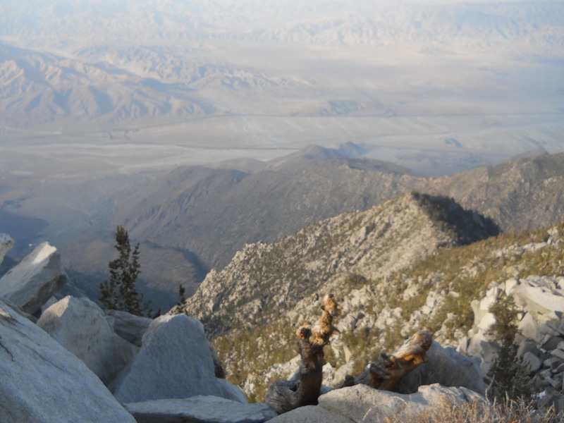
We met lots of dayhikers out from Palm Springs along the way who came up via the tram car. It was a beautiful climb to a rocky summit. When we got to the junction with the last bit of trail we dropped our packs and pushed on. We both lost the trail near the top and did a little bit of rock hopping to get to the top. The view was amazing, looking straight down into he desert. We could see windmills, Palm Springs, Joshua Tree NP, and (I think) I-10, still nearly 30 trail miles away.
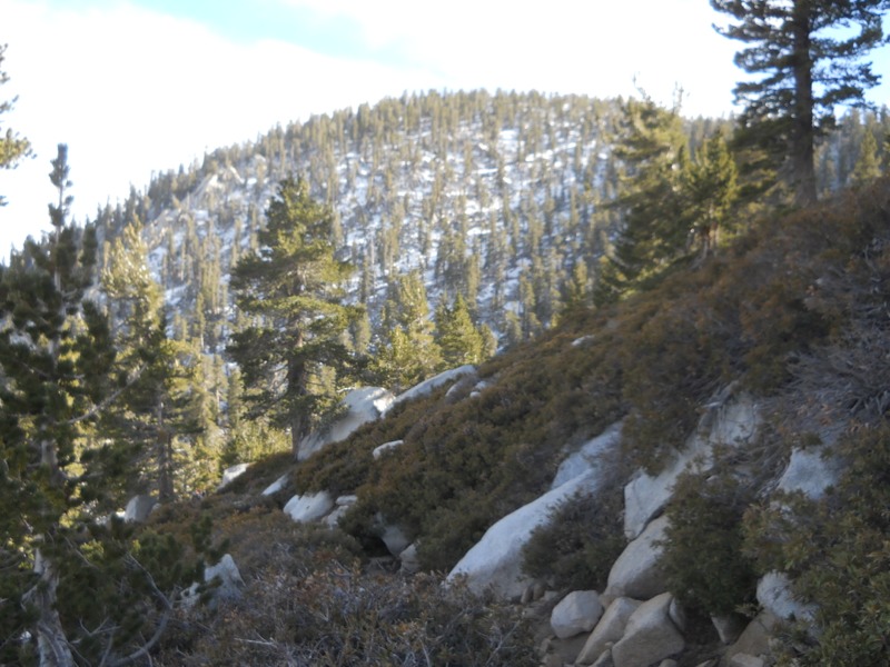
The trip down was actually a little rougher than the trip up. The west side of the alternate loop wasn’t maintained as well as the east, and we had to get over a few fallen trees. There were lots of tiny rocks on the tread – the kind that turn into ball bearings when you’re going downhill. The brush was pretty overgrown. Still, we made it back to the PCT in good time and found a campsite near good water. Tomorrow we go over Fuller Ridge, which seems to be referred to as “the infamous Fuller Ridge” in lots of journals. Not this year, though – it’s nearly snow free. Looking forward to more spectacular views tomorrow!
– Posted from the PCT