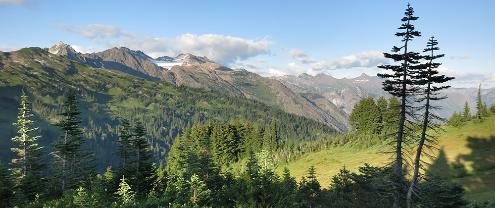
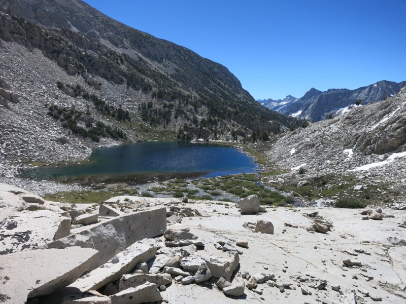
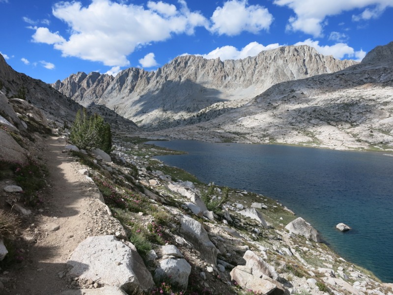
We started the day off with another warm morning as we packed up and began the last 4 miles up to the pass. We passed lake after alpine lake. Around every corner was a new beautiful sight and as we climbed each ridge we saw each lake from a new and seemingly more spectacular viewpoint. Once we got above them the lakes seemed filled with water of brilliant blues and greens. The trail took us over creeks and rock fields and eventually a few snowbanks. At times it was a fun exercise in finding our own route to the next cairn of rocks.

As we got above treeline we started to feel hopeful that we were nearly there, but we were fooled by Muir’s many false summits. Often we would top a ridge to find a lake instead of the stone hut that marks the top. This was very different from the other passes, where the final ascent was obvious from the steep switchbacks – most of the climb was still steep but stretched over miles of trail up the canyon. I can’t imagine what this climb is like during a normal snow year and how people find their way. Finally we headed up one last set of switchbacks to see a stone roof and chimney and we knew we were there at last.
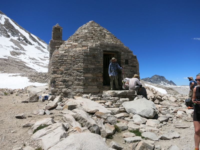
We spent a long time at the top with other hikers. We investigated the hut, built out of stone bricks cleverly fit together. The inside was lined with benches and a stone fireplace. I’m not sure what anyone would burn up here since it’s surrounded for miles by stone and snow. Still, if someone happened to get caught on the pass in bad weather, the hut would be a very cozy refuge.
We had the pleasure of meeting up with Mr. Green again, a fellow Minneapolis local. He had been slightly ahead of us but spent yesterday laid up with a bug from something he ate. We finally got the chance to have a good long chat with him – until now we’ve only seen him in passing. We talked about all the restaurants back home that we were craving. Then we started talking about our next town stop, Mammoth Lakes, in a few days. A southbound JMT hiker nearby was from Mammoth, so we got recommendations on where to eat. All of this conversation happened as we were snacking out of our bear canisters. By the midpoint of every section hikers are pretty fixated on food.
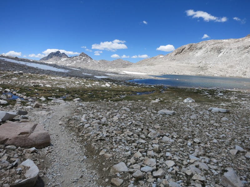
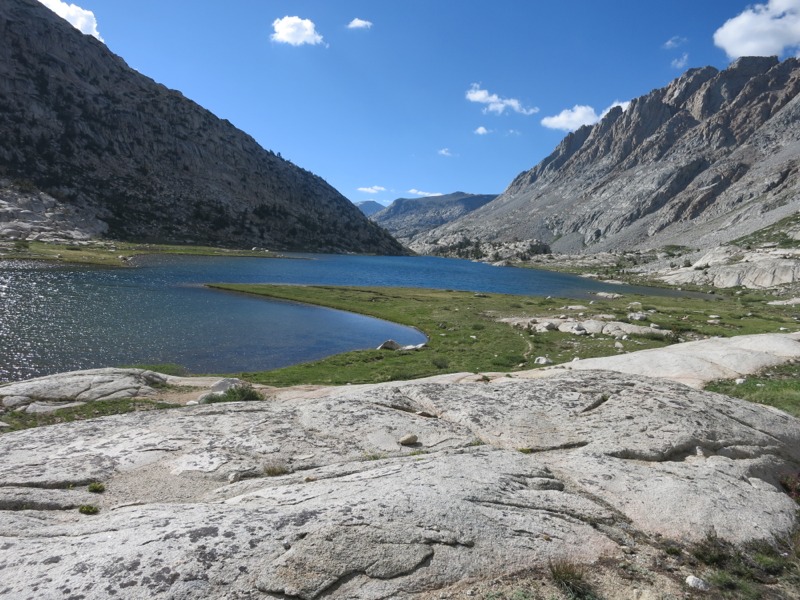
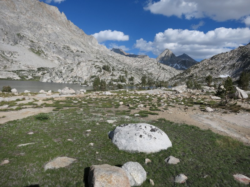
Finally we started down the rocky trail on the other side of the pass. Like the approach, this was spread out over much more terrain than the other passes. We crossed snowbanks and splashed through trickles of water as the trail collected the melt runoff. We passed by Wanda Lake, named for Muir’s daughter (as was Helen Lake on the other side of the pass) and stopped at the headwaters of Evolution Creek. We would stay within earshot of the creek for most of the rest of the day. We stopped here for lunch and took our time, not wanting to rush through such beautiful scenery.
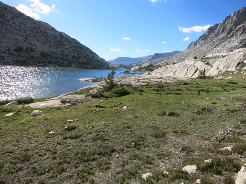
When we hit the trail again we dropped into the Evolution Basin and wound around the shores of a gorgeous chain of lakes. They were incredibly blue and framed by the bright white granite cliffs around us. Along the way we met Storytime, a hiker we hadn’t seen since the Anderson’s nearly 400 miles ago. He is doing this section southbound with a group of other guys. It was a totally unexpected and happy moment. We dropped out of the basin into pine forest, switchbacking down to McClure Meadow – a lush, open expanse of green grass on either side of the creek. We alternated between peeks into the meadow and dense pine forest as we headed west.
As the evening got later we stopped to figure out how much farther to hike. Right away the mosquitos were all over us…not a good sign of things to come. We decided to make for the major crossing of Evolution Creek. We’d heard that it was an actual ford – not just a rock-hop as all creek crossings had been until now. If we had to get our shoes wet we would rather do it tonight instead of first thing tomorrow morning. We cruised down the trail ahead of the bugs and were soon staring out over the wide creek. True to what we’d heard, there was no way to get across dry. The crossing at the trail seemed about knee height, but just a short way upstream we crossed a rock bed half as deep. This creek has a reputation for being dangerous. Like many obstacles during this dry year, it wasn’t as risky for us.
We set up camp below some pines on the other side. As soon as we dropped our packs we were fighting swarms of mosquitos – more than I’d ever seen in one place. We threw on our jackets and headnets and set up our net tent as quickly as we could. As long as we kept moving it was surprisingly bearable. Thank goodness for bug netting! It was a miracle to crawl into our tent and be out of their reach. We know they’ll be bad for much of the rest of the Sierra, but hopefully not this bad.
– Posted from the PCT
Location:Pct mile 851