As we were packing up this morning it started to rain on us. Not prolonged, thankfully, but just enough to get everything wet before we put it in our packs. If we’d been even 5 minutes further along it wouldn’t have been an issue. As we started down the trail it continued to sprinkle off and on for a little while before passing completely. The sun came out and it heated up warmer than it had ever gotten yesterday under the constant cloud cover.

We hiked past lots of evidence of cows – prints, poop and even cowbells in the distance. It took us quite a long time to figure out what the strange noise was. We were glad we didn’t need water because all of the streams were cow-trampled and contaminated. It still surprises me that people are allowed to let their livestock run free on national forest and wilderness lands. Just before crossing highway 3, our first paved road in a while, we passed a trail crew doing maintenance. Before we could see them – when we could only hear the sounds of tools clinking on rocks – we were worried that they might be a fire crew building a break, which would mean that the trail was closed and we’d have to detour. We were happy to be wrong. After thanking them all for their efforts we continued down to the highway (on lovely, clear, rock-free trail) and crossed to the trailhead on the other side.

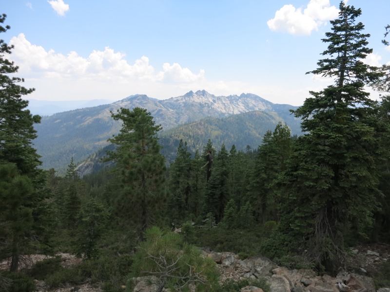
We took a short snack break that turned into a long one when we struck up a conversation with a man sightseeing in the area. It was time out of our day, but these are always pleasant diversions. Anything we can do to spread word about the trail and good reputations for the thru-hiking community is always a plus. We then started up a mild 4-mile climb, distracted briefly when we chatted with two more members of the trail crew. As we climbed we crossed the border into the Trinity Alps wilderness. As though on cue, huge, pale, craggy cliffs appeared through the trees to our right.
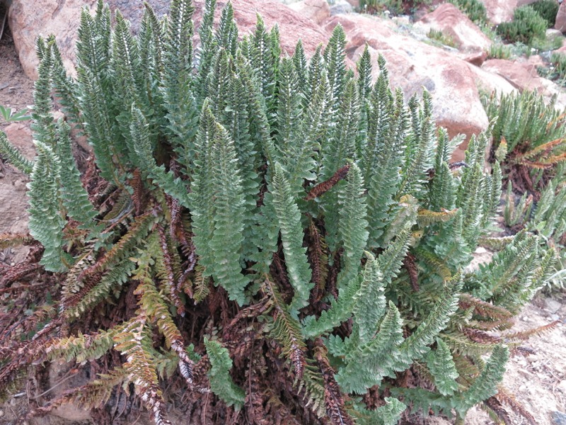
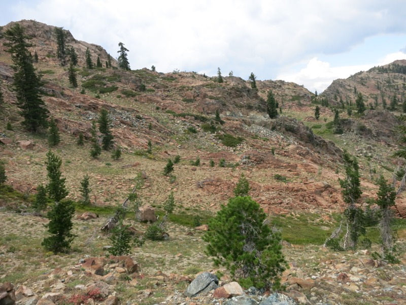
At the top we stopped for lunch at a pleasantly musical spring. Down the hill in its runoff were clusters of pitcher plants – bug-trapping carnivores that just showed up yesterday. We took the opportunity to dry our gear in the sun while we ate. After lunch we started another climb – still not steep, but the rocky terrain made it seem tougher than it should have been. We were entering a short stretch that reminded me of the Sierra: steep dropoffs, lots of tiny flowers, and huge imposing rock faces and cliffs. Only here, the rocks were a rusty red instead of white granite.

We didn’t take long to pass out of the rock scramble and back into ridgetop and forest hiking. We came across a group of kids from a local camp on a backpacking trip. They were impressed to hear that we were heading all the way to Canada. We followed our typical pattern of rounding ridges and crossing saddles, following the trail as it seemingly took us in every direction. As we came around one nose and headed west we could finally smell the smoke we’d been seeing all day. At first we thought it was someone’s campfire, but it persisted over the miles. It would have been pleasant to smell if I hadn’t known that acres and acres of forest were being destroyed.
At the end of the day we reached the water source we’d been aiming for, but our campsite luck had run out and we couldn’t find anything useable right by the creek. We went to plan B – filling up and taking a short night hike up to a nearby road. It’s a lot harder to find an acceptable spot in the dark but a little poking around yielded a nice flat area near the trailhead. The road has more traffic on it than we expected but we’re tired enough that it shouldn’t keep us up.
– Posted from the PCT
Location:Pct mile 1586
