 Last night, all snug and warm in my bag, I had what seemed like the best night’s sleep on the entire trail. I was very glad we’d set up our tarp even through we didn’t get any rain. When the wind picked up overnight it helped keep us warm and in the morning it felt about 15 degrees warmer inside the tent than outside.
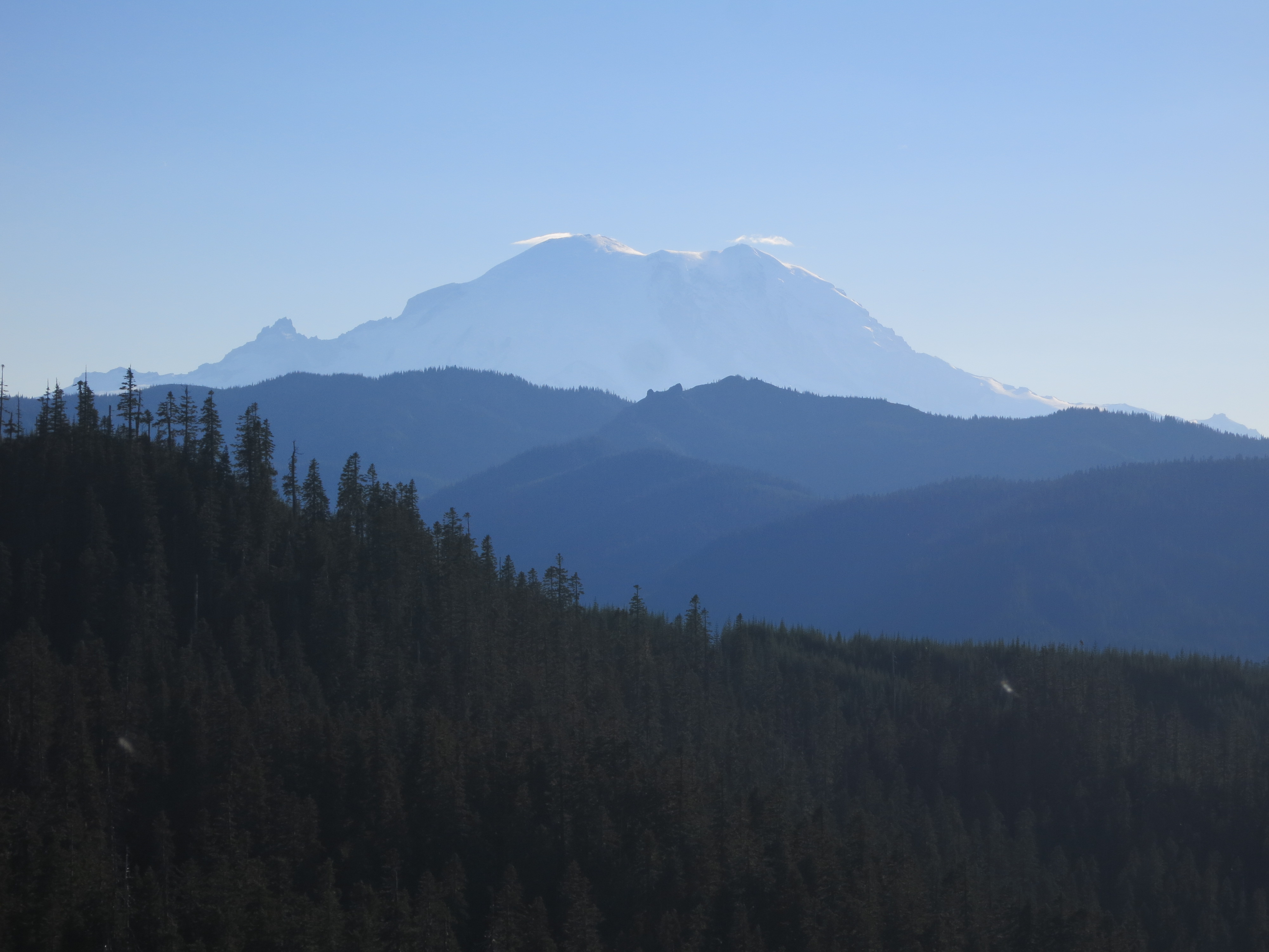
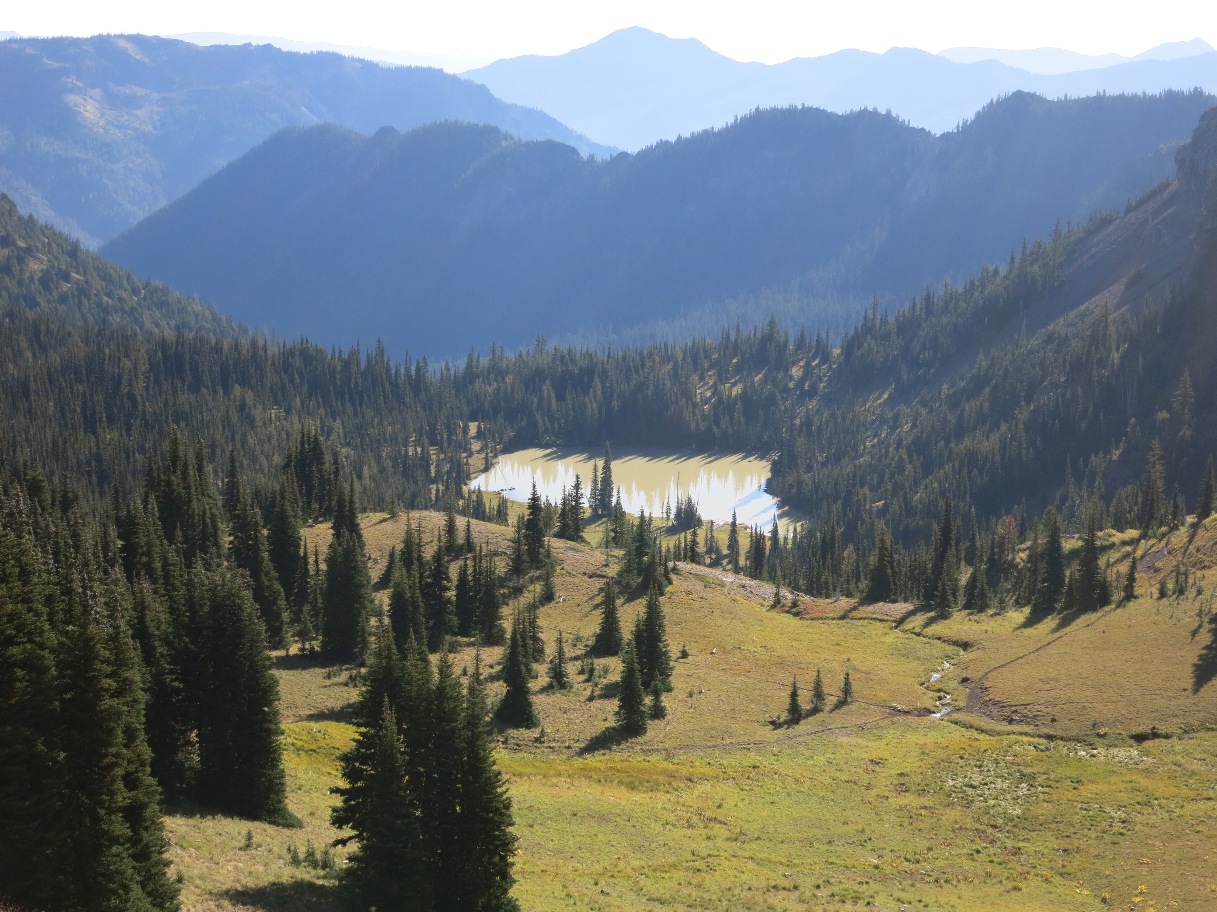
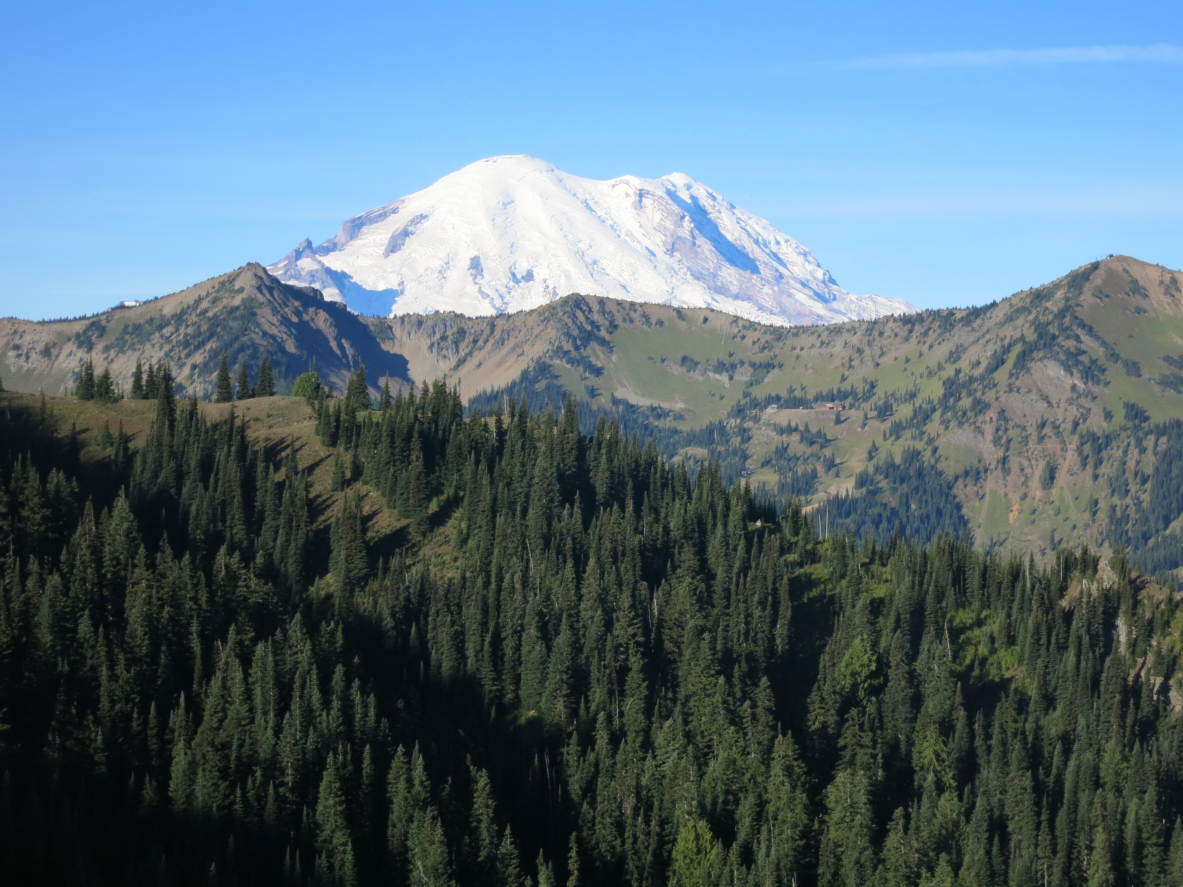 Our view was incredible when we finally poked our heads out of the tent. We could see the nearly-full moon, bright and seemingly enormous, just setting behind a ridge to the west. South of that, making its appearance at last and dominating the horizon, was Rainier. Its snowy slopes were painted pink by the rising sun.
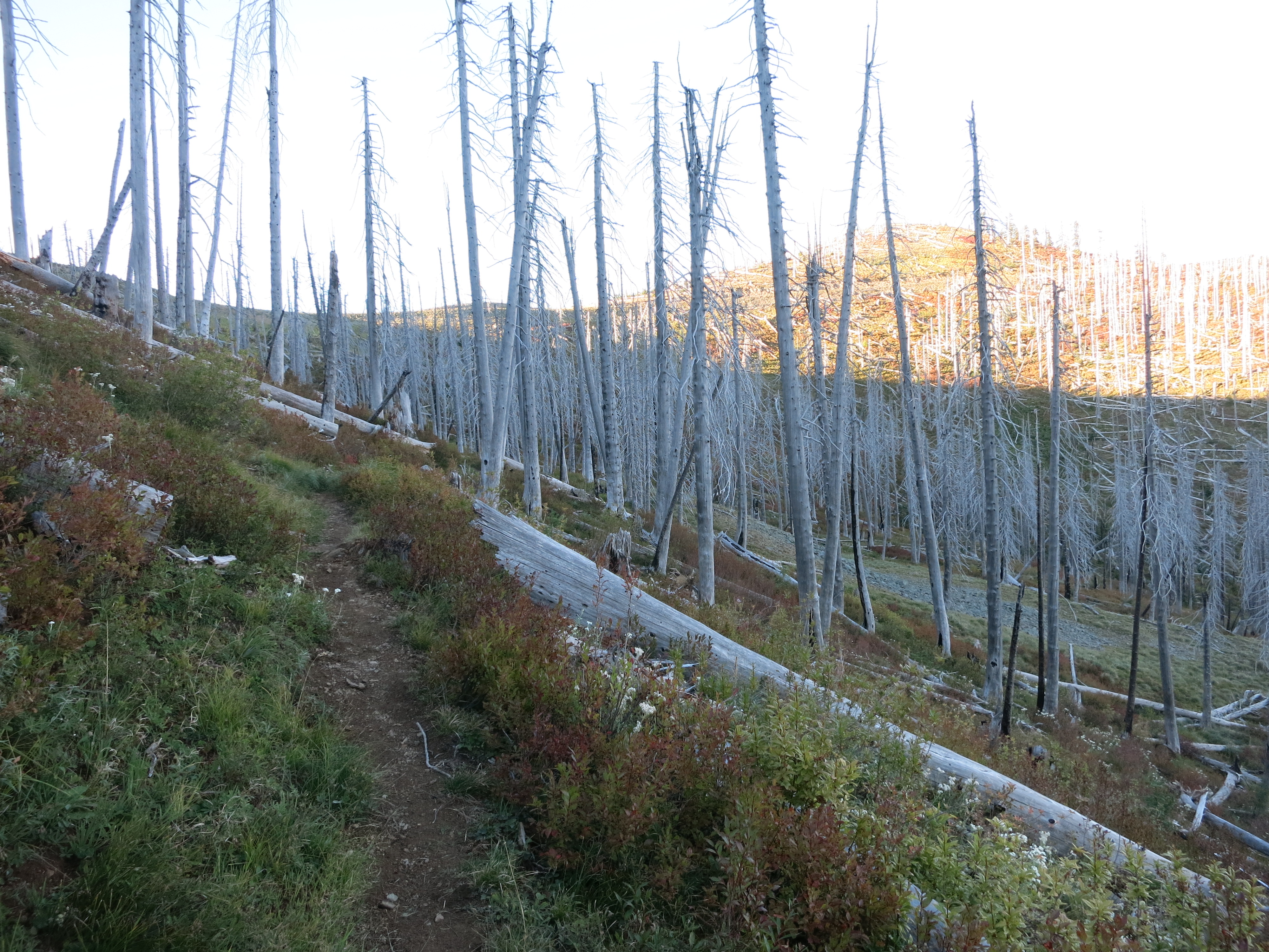
 I bundled up to start the day’s hike – jacket, warm hat, long pants over my base layer, and gloves. I actually hiked in it for a good long while, too. Normally a few minutes after I get going I have to stop and strip layers. The dirt of the trail tread was frosted on the shaded western slopes of the ridges we traversed.
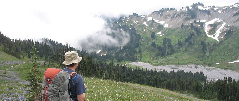
 It was sunny and clear but very windy. Even when we were down off the ridgetops and out of the main force of it we could hear it whipping around the treetops.
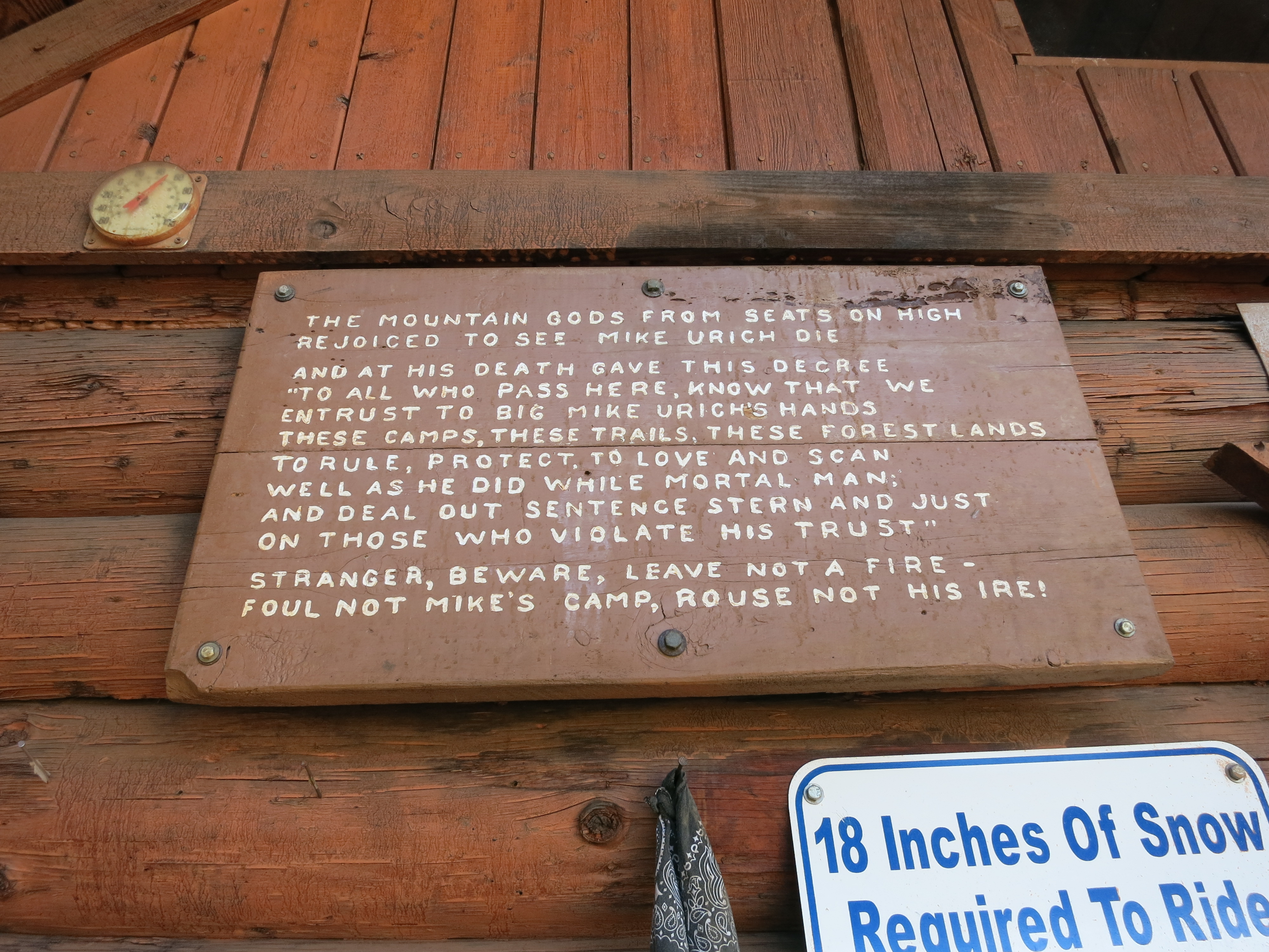 We made 16 miles to a water source and a very nice shelter – the Urich cabin – for lunch. There we ran into a few dayhikers and chatted for a while about the trail and our trip so far. They even gave us some Nature Valley and Clif bars, completely unasked! While we were cooking up our beef stew lunch a few other hikers showed up. The weather is on everyone’s mind, of course. The rumor is that it will be dry but overcast tomorrow and that Saturday will be rainy – a good day to get into town. We heard this morning that it might snow Monday night at the higher elevations. We’ll see how the forecast shakes out, but we’re getting down to the wire and every beautiful day like this is a blessing. The cabin would be a wonderful place to stay in bad weather. There was a huge wooden stove, a good stash of cut logs, and hooks everywhere to hang wet gear. The snowmobile club that built this place really knew their audience – summer AND winter.
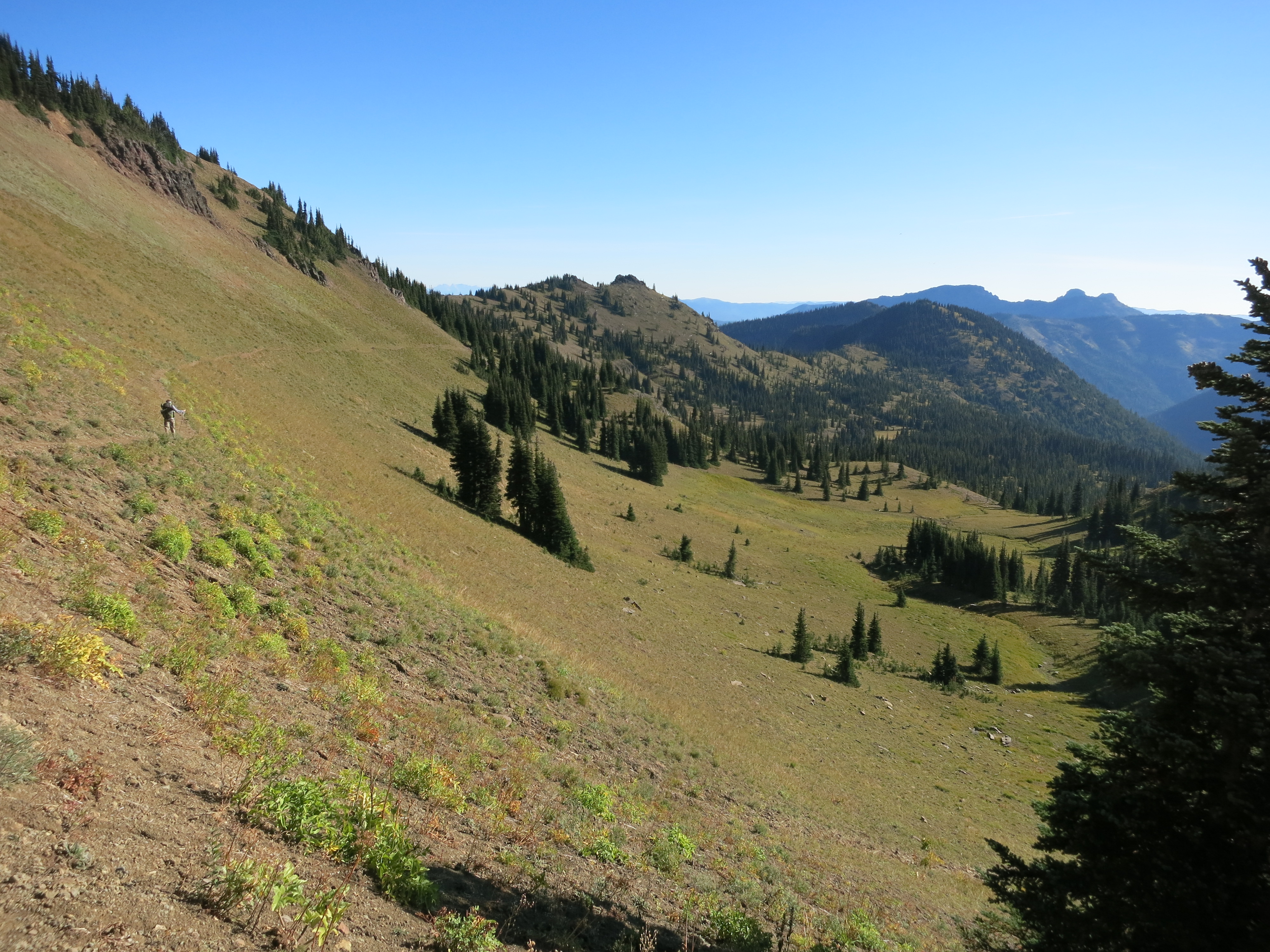
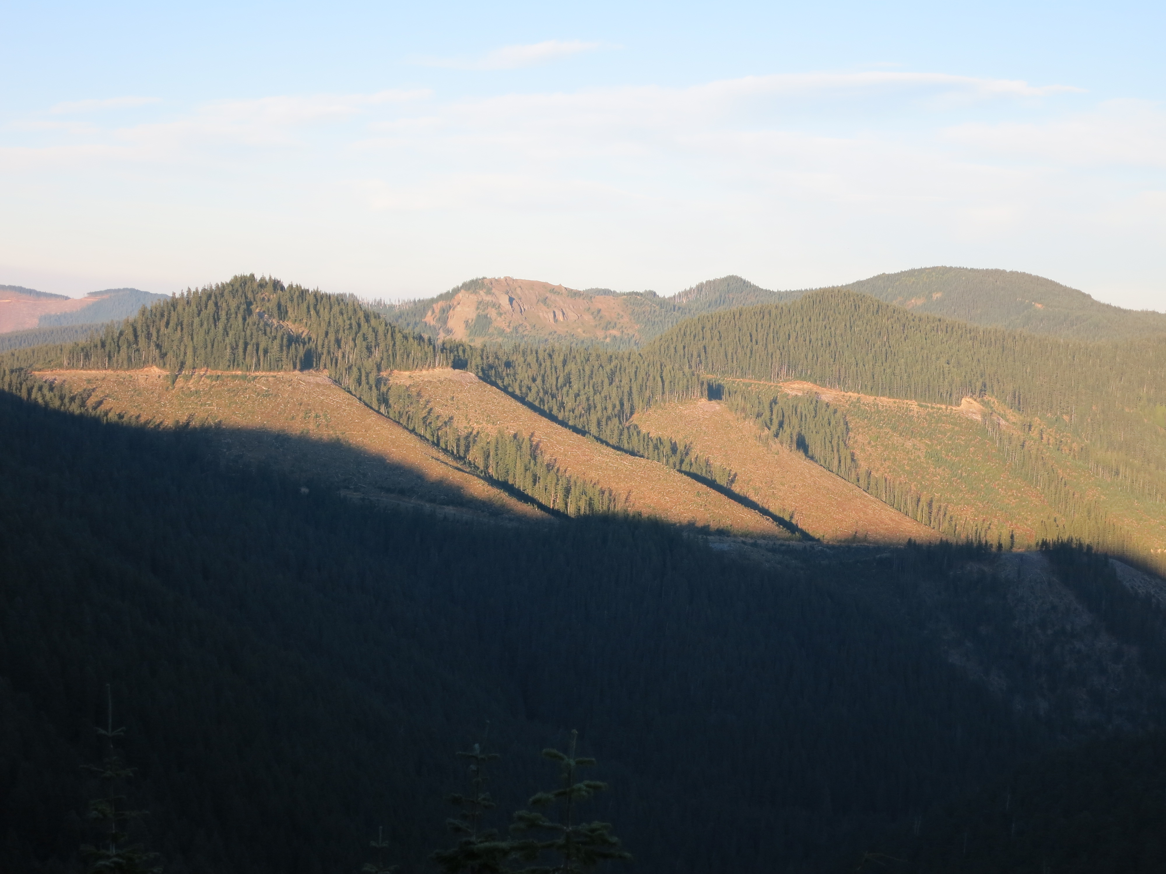 After lunch we headed up towards Diamond Peak to traverse the ridgeline east for a few miles. We entered the much-reviled clearcut area, where huge sections of hillside were empty of trees over 5 feet tall. They looked much more barren from far away than they did while hiking through them – like huge, straight-edged scars cut into the hillside. The trail through these open areas suffered a lot. Erosion made them slope slightly downhill, exhausting our ankles, and they were very rocky and uneven instead of nice soft duff like in the still-forested sections. We stopped and got water at a little creek – the last source for 12 miles – and kept hiking for one last hour. We reached our goal of a particular road crossing with enough light to see by but didn’t have to hunt very hard for a spot. There was a nice sheltered one set well away from the road and back from the edge of the ridge. Hopefully we’ll be protected from the still-gusting winds.