Day 38 – Liebre Mtn to Mojave floor – 24 miles


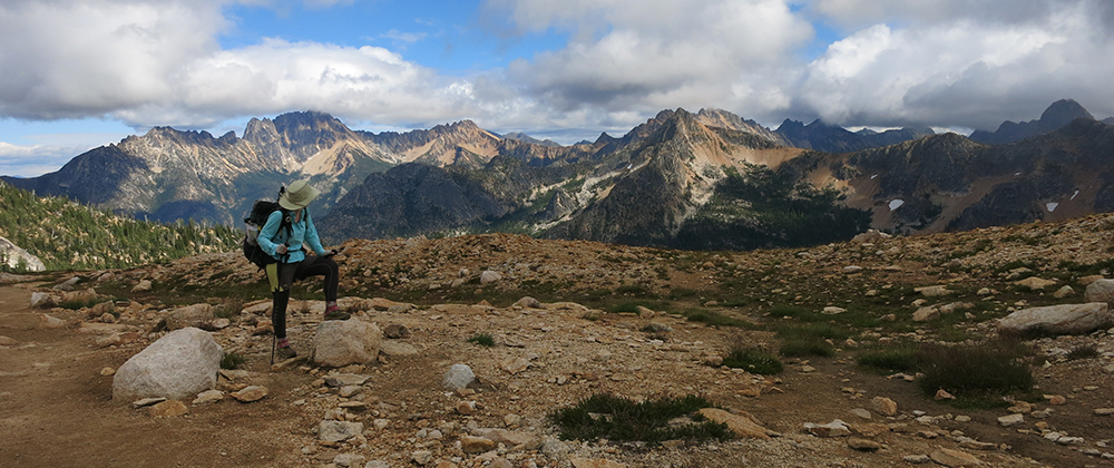
The night was so windy that we slept through our alarm, unable to hear it. We’re so close to the Mojave that it wasn’t a very cold breeze so it wasn’t as much of an excuse to stay in bed. It would be windy for most of the day – which, I guess, is a good reason to put wind farms in the desert.


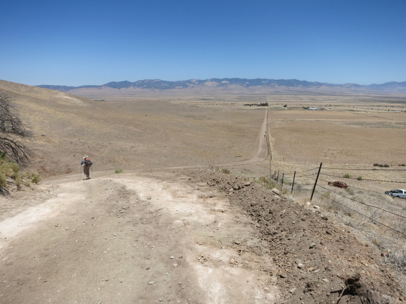
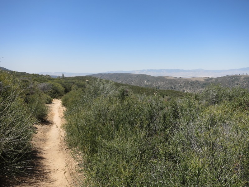
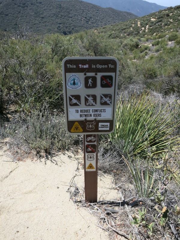
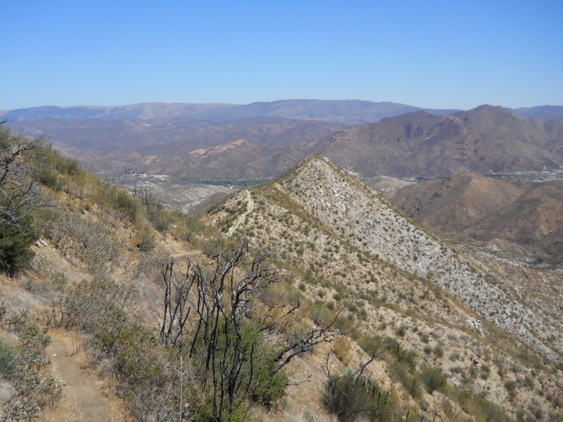
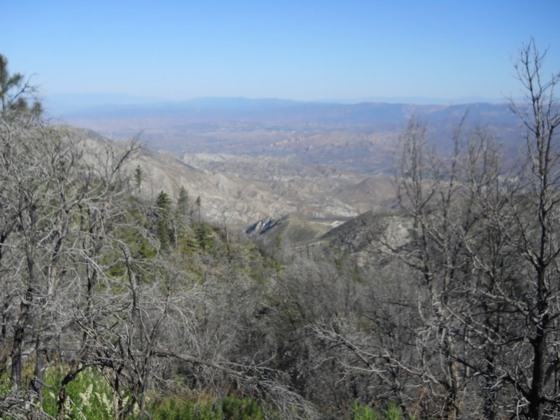
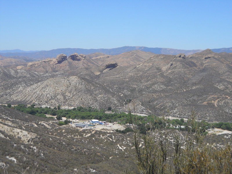
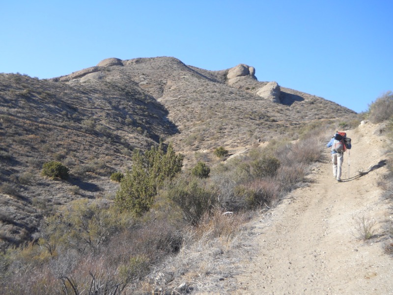
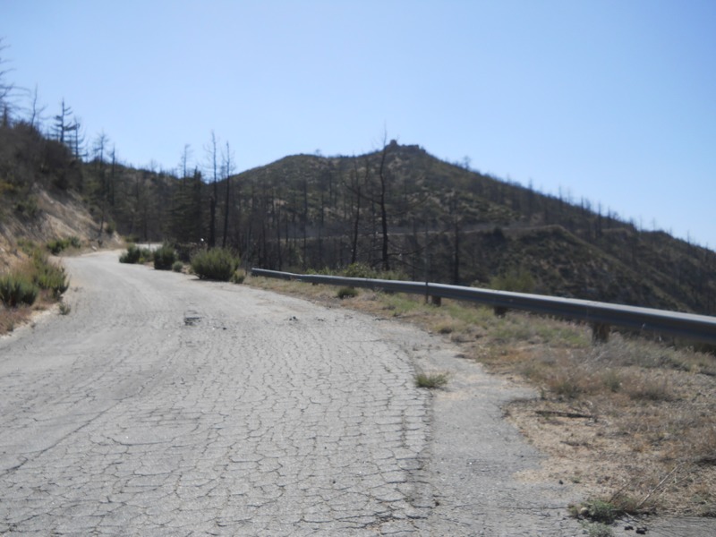
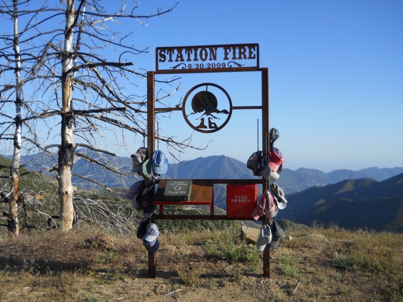
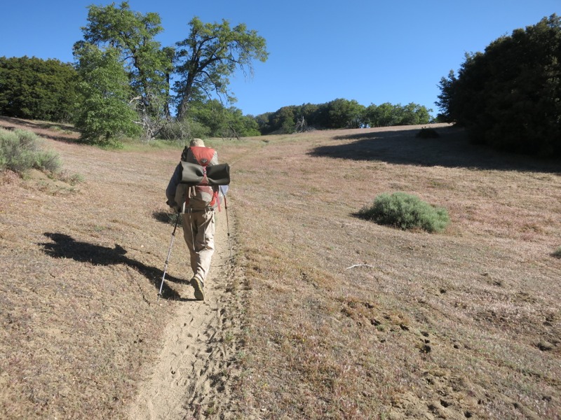
We started the day with a long descent off of the mountain ridge to Pine Canyon Road. We hiked through more open territory than we’re used to seeing, with actual oak trees, meadows and views down off the ridge. Before long we passed a horse camp 4 miles up the trail, which had been our intended camp last night since it had a picnic table. I think we got a nicer spot by stopping short when we did. More switchbacks brought us at last to the trailhead and the nearly-empty cache there. It’s a good thing we haven’t been relying on them so far. We stopped and took a snack break before pushing on to climb the last few ridges between us and the desert. This was not very hiker-friendly territory and we saw lots of signs from the local hunting club warning us to stay on trail. As though we had any reason to stray, with Hikertown, shade and water only a few miles away. The breeze kept the temperatures very comfortable as we did out last uphills for the next 15 miles or so.


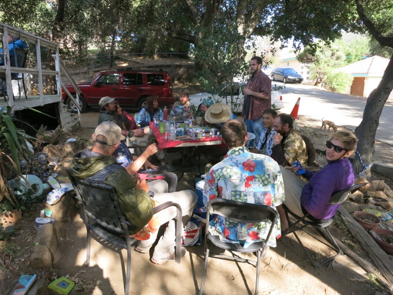
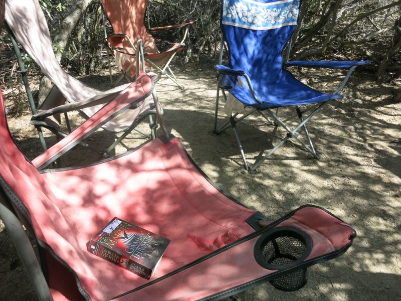
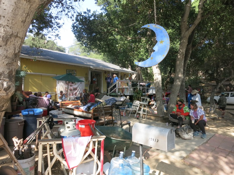
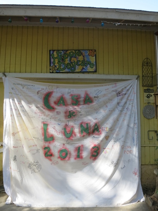
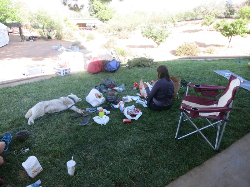
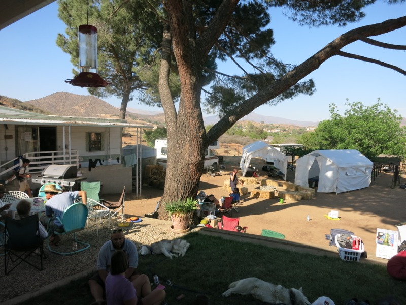
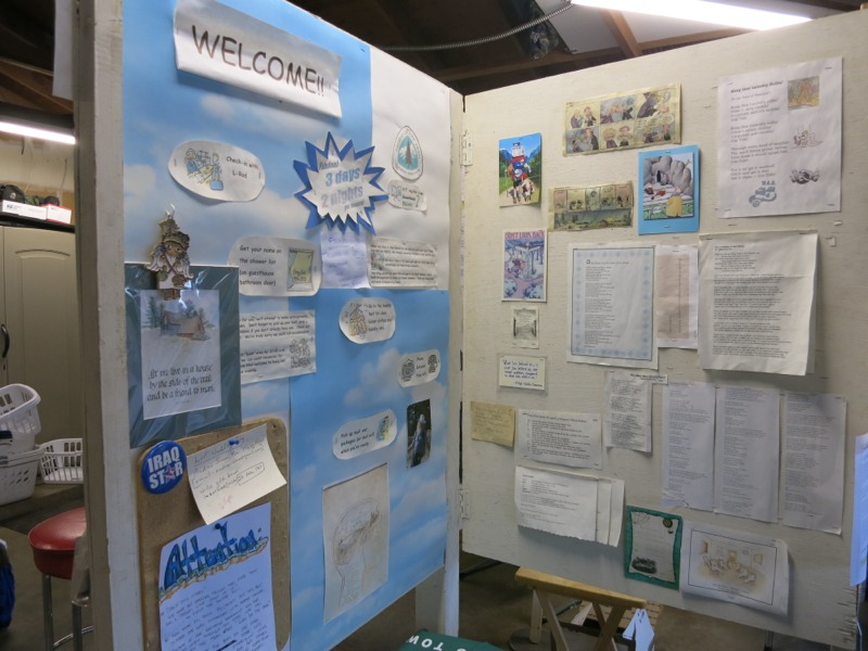
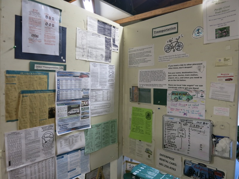
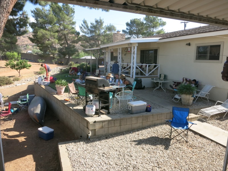
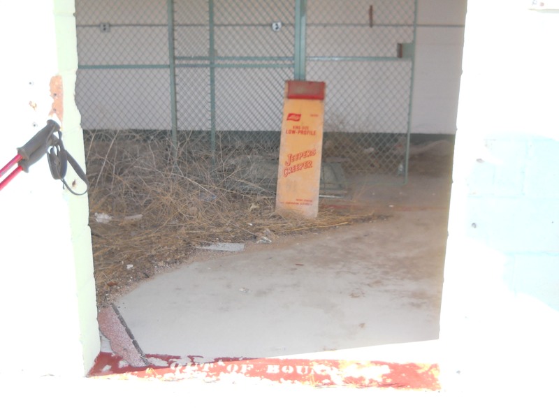
With 13 miles covered so far, we crossed Hwy 138 and entered Hikertown. This place totally reinforces the stereotype that eccentric people live way out in the boonies. It’s part old west town, part hostel. Hikers stay in the different “buildings” around town – city hall, the bunkhouse, the general store, etc. If someone has sent themselves a resupply box they can get it at the post office, of course. Add a bunch of chickens and dogs running around, and 30 or so hikers, and you get a real shock to the system. We were just glad to get off our feet. Someone was shuttling hikers to the convenience store up the highway so we were able to get sodas and snacks. The kitchen was cooking burgers and fries, which we topped off with some ice cream. I then topped that off with a short nap. All too soon the afternoon was waning, so we filled our water, collected our laundry and set off across the desert floor.


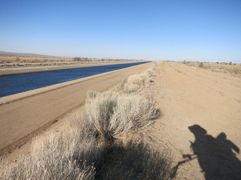
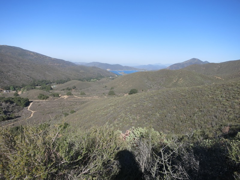
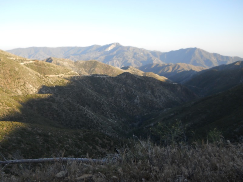
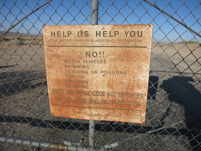
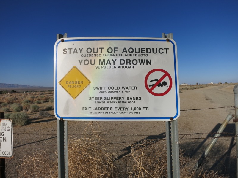
This is the flattest section we’ll hike on the trail. The reason we cross the desert instead of taking the Tehachapi mountains to the west is all due to one landholder – Tejon Ranch. For years the PCTA and the forest service negotiated with them to get right-of-way for the trail, but they wouldn’t budge. So instead of hiking in the hills under pines and past plentiful water sources, we hike in the desert under the sun with no natural water for miles and miles. A few years back it looked like they had finally reached an agreement to reroute the trail. This was a concession the ranch made in order to get approval on a housing/commercial development, though, and with the real estate market still dismal the whole thing is in flux. One way or the other it will be a long time before any PCT hiker sets foot in those mountains. Instead we follow the LA aqueduct for 10 miles or so. This is a whole other dispute, since it takes massive amounts of water from the valley east of the Sierras and routes it across the state for the LA valley’s use. Regardless of the morals involved, there was something hypnotizing about so much open water in one place after miles of desert. We haven’t seen anything like it since Silverwood reservoir before Wrightwood, 200 miles ago. We won’t see it again until the Kern River in another 200 miles.


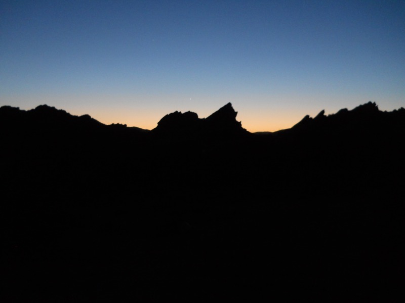
Unfortunately, after a mile or so the aqueduct was routed underground and we were left to follow a big pipe, and eventually a concrete slab along a dirt road. It wasn’t vey interesting trail but at least it was flat. The sunset behind the off-limits mountains was beautiful. As we walked Inge dusk and then full night we could see the lights of a big city to the east – possibly Palmdale. We also saw the blinking red lights of the same wind farm again. We were expecting to hike by the light of the nearly-full moon, but it didn’t rise until we made camp. We have about 5 more miles of flat road walk tomorrow before we start up into the hills. After that is the town of Mojave, and we’ll be in the Sierras a week or so after that. They’re finally close enough for me to start getting excited about them!


– Posted from the PCT

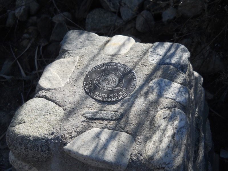
Location:Pct mile 529

Day 37 – Lake Hughes road to Liebre Mtn – 19 miles

We slept in this morning way past our usual alarm. After last night’s hike and the last few days of close quarters with lots of people, we were craving a normal night of uninterrupted sleep. It felt strange to be lying in bed when the sun was so high in the sky already. The day was breezy and cool for this area so we didn’t have to worry about getting a jump on the heat. As it turns out we had camped just short of the road to Lake Hughes and the water cache there. All the time we spent at the Saufley’s and the Anderson’s means that we have moved back in the pack and a lot of the people we saw today we don’t know very well…at least not yet. It never seems to take very long out here.


We crossed the road and started up a climb over another small ridge of mountains. We were buzzed by an LA fire helicopter, but they seemed to just be keeping an eye on the nearby trail crew doing brush and tread maintenance. The guy clearing the brush had a super heavy duty weed whacker and a face shield and everything. We thanked them for all the work they do so we can hike on a nice, solid clear trail. As we reached the top of the climb we found a little unexpected trail magic in the form of cold Cokes. We took a break and looked out over the Mojave as we drank them. Not much separating us from the desert now…


We continued on easy trail until we reached an underground fire tank, our first water source. It seemed to be everyone else’s stop of choice too and as we ate lunch more and more hikers showed up. We’re definitely in the herd now.


We set out to make more miles in the remaining afternoon. The day seems so short when we don’t get going early! We had another moderate climb up Liebre Mountain on the way to our next water source where we would do our laundry. Out here they have guzzlers, which are underground tanks that self-fill from rainwater. They are apparently put there for the benefit of wildlife. With water being so plentiful in MN this is a new concept for us. This one was just a large sheet metal roof that channeled the rain to a gutter on one side, which then collected it in the tank. It was a pain in the butt to crawl under and retrieve the water but we were glad to have it. We were also glad that we didn’t have to filter it for drinking, because it was pretty scummy.

After the guzzler we intended to go another 6 miles before settling in for the night, but as it got dark the temperature dropped quickly. My feet were bothering me – another reminder that I need new shoes, which are 3 days away in town. There were so many nice campsites around for a change that we decided to stop early. Tomorrow we’ll go all the way down to the floor of the Mojave for a decidedly un-crest-like hike along the LA aqueduct.

We made our permits official today! The PCTA issues long-distance permits for trips over 500 miles so hikers don’t have to get permission from all the different jurisdictions individually. We’re finally legit!

– Posted from the PCT

Location:Pct mile 505

Into the Mountains


There haven’t been any updates in awhile because we’ve been out of 3G range and haven’t had any good WiFi options lately.

We are finally in the mountains, after 700 miles in the desert!  We’ve spent a couple days in Kennedy Meadows resting up.  Tomorrow, Saturday, we’ll climb about 2000 feet.  It should be a hot one.  We are really looking forward to the cooler mountain weather, which we should start to see in a few days.

We spent an extra day in Kennedy Meadows in order to wait for Jen’s headlamp.  We lost it on the trail, but heard through the grapevine that the hiker Doodles may have found it.  Doodles arrived in KM today, and sure enough, she had Jen’s headlamp!  We were so relieved!  Thank you, Doodles!

In the next section of the trip, we have to be careful of bears, so we each have a bear canister in which to put our food.  They add a lot of weight to our pack, but it’s worth it to have the protection.

IMG_0367

Jen has more updates in the queue, but until we get better service, you’ll just have to wait to hear how we got here.  She has a really good picture of the hailstorm we ran into – on her birthday, of all days.

IMG_03661

Day 34 – past Bouquet Canyon Road to Casa De Luna


Despite our late night, we forced ourselves up without sleeping in. We were worried that the day would be hot. Even though we seemed to be in the desert we had condensation on our bags. We ate a quick breakfast – perfect time to try out a caffeinated Clif bar – and admired the tall ridge we’d climbed in the darkness last night.


We set out with 14 miles and a large climb between us and town. The weather was cooler than we expected and stayed breezy all day. We were carrying a crazy amount of water and turned out not to need it. Still, had we relied on the water caches along our way we would have been in trouble since they were all dry. All the weight will be good training for the next few days as water gets more and more scarce.


A few miles up the trail we caught sight of a tempting-looking reservoir. Maybe this lake had been the source of the dew on our bags this morning. We climbed gradually, passing the welcoming Oasis cache (stocked by the Andersons) and declining to pick up one of the official “pct 2013” lead weights. Even though we didn’t have far to go, our feet were sore by the time we headed down to the highway and the ranger station there. Mojave and the new shoes waiting there can’t come soon enough.


We took a short rest at the ranger station, then started waking to Casa De Luna where the Andersons host many hikers every night. Just as we started walking down the road a van came by to drop some hikers off at the trail. They pulled into the parking lot and we met Terri Anderson just like that.


Casa De Luna is also known on the trail as “Hippie Daycare” and this was a pretty accurate description. Every new hiker to roll in gets a round of applause from the ever-present crowd milling around in the front yard. We were told to find a campsite in the huge manzanita forest out back and then to get our requisite Hawaiian shirts. We lounged an read for the rest of the afternoon until dinner was served – the famous taco salad. It was everything we’d been hoping for. We turned in early and actually managed to find our way back to our stuff through the maze of manzanita. Tomorrow we’ll tackle the tough question of when exactly to leave and get back to business.


– Posted from the PCT

Location:Pct mile 478

Day 33 – Agua Dulce to past Bouquet Canyon Road – 10 miles


Since we were staying an extra day, we joined the daily van trip to town. They would take us to REI, then In-N-Out Burger (unless anyone dared to request something different), then the grocery store. We were all excited to be out in real civilization for the first time in a month. Being caught in LA traffic was a new experience but couldn’t hold our interest for long. Before much time had passed we were starting to get hungry. This was also the first time we’ve been without easily accessible snacks and water in a month. How could we leave without something to tide us over? Since we couldn’t eat and couldn’t move around, we all defaulted to our 3rd instinctual behavior these days – sleep. Within 20 minutes of getting stuck in gridlock nearly all of the 12 hikers in the van were napping.


The rest of the day went more according to schedule and we got back to the Saufley’s to spend the afternoon packing up and relaxing. It was hot and we were glad we planned to hike out at night. We kept putting it off, but finally it was time and we caught the van back to the trail.


We made great time with the benefit of my new headlamp. After all the activity at the Saufley’s it was really pleasant to listen to the silence as dusk moved into night. We climbed but it seemed easier in the dark, just as it had after Cajon Pass. The Germans were hiking ahead of us and we kept seeing their headlamps up above us, letting us know how many more switchbacks we had left before the top.


By a little after 12 we had made it 10 miles and were on the lookout for a campsite. We found a little open patch in the juniper-manzanita scrub and settled in for a few hours of rest. I’ve never fallen asleep so fast.

– Posted from the PCT

Location:Pct mile 466

Day 32 – Agua Dulce


Zero day at one of the best places on trail…


Story time and Kiddo joined us for breakfast and then we bought food for our next section to Mojave. Since the hikers had an RV kitchen all to themselves I decided I’d make some banana cream pies – something I’d been craving for a while. We got our laundry done, picked up our food drop (and my repaired camera!) and caught up with hikers we hadn’t seen in a while. Since most people stay for more than one day here, there tends to be more overlap than during town stops.


We were planning to leave tomorrow morning but realized that this upcoming holiday weekend would interfere with our schedule. We have a box waiting in Mojave but won’t get there in time to pick it up Saturday, so we’ll be out of luck until Tuesday. Hotels will likely be fuller than normal too. Since we have to waste a little time, we’ll leave tomorrow night and spend a day at the Anderson’s 24 miles away.


– Posted from the PCT

Location:Pct mile 454

Day 31 – Messenger Flats camp to the Saufley’s – 24 miles


We slept a little late this morning, not sure if we would push all the way to Agua Dulce today. There was a KOA campground 14 miles out with a pool and showers and Chinese delivery, which sounded mighty tempting…but the day would be hot and we didn’t want to get stuck hiking in the middle of the day.


It was satisfying to be back on trail instead of a road walk, but the first 6 miles to the North Fork ranger station were tough. Not because of elevation, but because they were on rough, eroding, overgrown trail. Poodle dog continued to crowd the path and would sometimes even grow in the thicker shrubby sections, so we had to try and avoid it even when we couldn’t see the tread underneath our feet. To make everything a little more challenging, poison oak started to make an appearance. Despite all this we made good time. We were motivated by the idea of ordering lunch at the KOA while we waited out the heat of the day. After passing under a set of crackling high voltage lines we arrived at the ranger station and the water cache there. We still had a lot from the fire station thanks to a cool morning. While discussing lunch plans, we made a terrible discovery – the Chinese restaurant was closed on Sunday! Hiker dreams crushed, just like that. It took some wind out of everyone’s sails but there was nothing to do except press on.


As we started down the 8 miles to the campground it got hotter right away. Before long we were firmly back in the desert and the cool breeze from the morning was hot and intermittent. As we twisted along and over the ridges we caught glimpses of a green strip of trees – Soledad Canyon Road, our destination. Knowing where we were headed almost made it worse because every time the trail meandered we knew it meant extra miles before the shade. Of course, if we were looking to hike the most direct route north the PCT would be a bad choice. By the time we came down to the road we were seriously in need of a break.


We crossed the road and headed into the trees around the little creek, then cut east and walked through the campground to the office. Seeing the row of enormous RVs was a bit of a culture shock. We arrived just in time to jump on a food order from a nearby pizza place – score! With some ice cream and a cold Gatorade to tide us over, we joined the other hikers around a picnic table and proceeded to commiserate about all the trail we had been over today. Lunch arrived and it was wonderful. We ate and drank and talked and cooled off. Rabbit and Kiddo went swimming and we were jealous but too lazy to move. Other hikers dropped in and left as the afternoon went by. If not for the lure of the Saufley’s 10 miles further up, no one would have left. Finally we shoved off since we wanted to get there tonight instead of camping short for one more night. Rabbit left with us and we headed into the narrow band of hills separating us from Agua Dulce. We passed the “Golden Spike” of the PCT, where the final sections were joined in 1993. It was a little anticlimactic.


It wasn’t bad hiking in the cool of the afternoon. We went up gradually for a few miles, past some huge rock bluffs. Then we dropped down towards the highway. We crossed under it through another long, eerie culvert. It was so dark in the middle that I walked with hiking poles in front, feeling for anything in my way.


We came out the other side in Vasquez Rocks regional park, a famous backdrop for Hollywood westerns and at least one episode of Star Trek. Unfortunately, dusk was rapidly turning to night and by the time we got to the more impressive rock upthrusts it was too dark to get pictures. The trail we were on was a little confusing at times as it intersected other trails within the park. There were signs standing at the side of the trail identifying the various desert plants we had been seeing for 450 miles. It was nice to finally put a name to them.


As it got darker we slowed down more and more. My headlamp wasn’t bright enough for me to easily be able to pick out rocks in my way. During our stay in Agua Dulce we’ll have the chance to get a ride to REI and I might exchange it for a brighter lamp. We’ll be crossing the corner of the Mojave so some night hiking is in our future. Eventually we found our way out to the road and started towards the Saufley’s, one of the most anticipated trail stops on the trail. The main road through town doubles as an official stretch of the PCT and is actually labeled as such on Google maps. As we trudged up the road in the dark a woman pulled over and offered us a ride, which we gladly accepted. My feet were not looking forward to another mile on the concrete.


We slipped in the front gate and saw a sea of hikers and cots. A volunteer gave us the scoop on laundry and showers and other such important things. Since it was so late, the shower only had a short waiting list and before long we were clean – although laundry and package pickup would have to wait until tomorrow. We found a spot of ground out away from all the main traffic and noise and turned in for the night, happy to be clean and looking forward to breakfast.

– Posted from the PCT

Location:Pct mile 454

Day 30 – Sulfur Springs camp to Messenger Flats camp – 23 miles


We hadn’t expected to have a very cold night, but we woke up with ice beads on our sleeping bags. This was a surprise since we had both been toasty warm all night. We got going a little later than normal since we needed to dry our bags out a bit before cramming them into our packs.


We climbed gradually over the course of the morning and made good time through the desert scrub – at least, until we hit the poodle dog bush. We knew it was going to be bad later today because of the burn area we’d walk through, but we didn’t expect it this early on. It took quite a bit of maneuvering to get through it without brushing up against it. After a few miles of unpleasantness, we transitioned into a more open, pine-filled landscape and the going got easier. We had great views to the north over the Mojave we would cross in a few days. The rest of the morning consisted of a pleasant dirt road walk as we took the detour around some trail damaged by the huge Station fire in 2009. We chatted with Rabbit along the way. He started at the border before us but hikes fewer miles per day than a lot of folks. This is refreshing since so many people push to do big miles.


After a long, increasingly warm descent we arrived at the Mill Creek fire station. There we found water, an outhouse, picnic tables, and electrical outlets – all the comforts of home. Although we were the first ones to arrive, along with the Germans, it didn’t take long for others to show up. We cooked lunch and had a nice long break. This also gave us the chance to dry our bags out a little better. By the time we finished our chores and left, there were about 15 hikers hunkered down in the shade.


The rest of the day would involve more road walking. The miles after the fire station were heavily infested with poodle dog bush and most hikers took a forest road that closely paralleled the trail instead of the trail itself. After our experience this morning we decided we would do the same and we’re glad we did. As we started up the road we could see that the hills around us were absolutely covered in it. Unfortunately, the road we were on was paved and not dirt – it’s ironic that we cross so many dirt roads but the one we actually walk on for miles is paved. It was pretty brutal on the feet and knees, especially since we were loaded up with water for another hot dry stretch.


It wasn’t all bad, though. The road was a steady grade up and we had great views. We put on our headphones for the first time, knowing we would need some distraction, and listened to music. We could even get some radio stations to come in. Eventually we passed a monument to the firefighters involved in the Station fire, including two who lost their lives. We signed the journal left there and thanked them for all they do. Without their efforts we would be walking through much more burn and we would have many more detours. Immediately after that the road took us through a burned out prison. This was super creepy and I was glad to be hiking with other people. It looked like the set of a zombie movie, or every post-apocalyptic video game I had ever played. We kept joking about the impending ambush. It was easily the most menacing place we’ve seen yet on the trail.


The day ended, as it often seems to, with a climb as we went all the way to the top of Mt. Gleason. Being on a road helped but not that much. We passed a communication tower at the windy summit and finally started heading down. Seeing the sign for the campground felt like a victory, but we still had a mile to go. Thankfully the road at last turned to dirt so it was a little easier on our sore feet. It was getting cold fast as the sun set and we were glad to get to camp and crawl into our bags. Something about the road walks really takes it out of us, even though it should be easier terrain in theory than the trail.


– Posted from the PCT

Location:Pct mile 430